Weather Photos


-
-
-
-
-
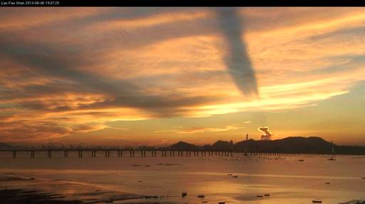
Crepuscular Rays
The alternating bright and dark strips are caused by shadows of mature cumulonimbus clouds.
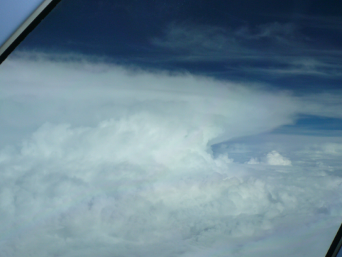
Cumulonimbus Cloud
Cumulonimbus clouds are characterized by strong vertical motion of very moist air, developing to a great height. Thunderstorms are usually associated with this particular type of cloud which can extend from near the ground up to 10 kilometres.
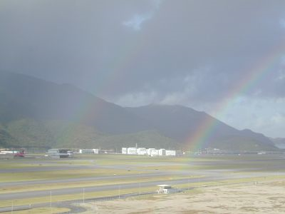
Double rainbow
A secondary rainbow is produced when there are two reflections inside a water droplet.
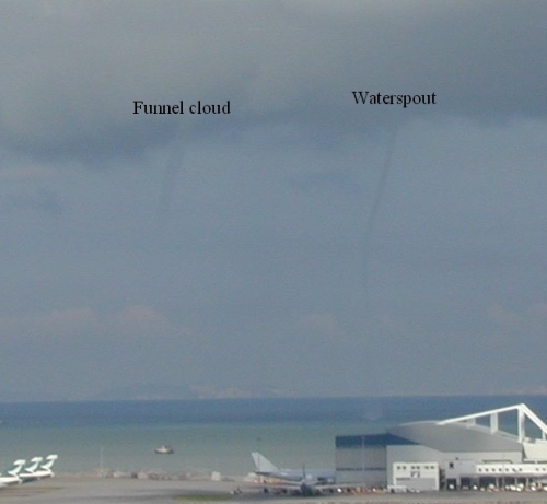
Funnel Cloud
A waterspout is a fast rotating column of air extending from a convective cloud base to the water surface. A rotating column of air that does not touch the water surface is called a funnel cloud.

